Locating a house before even visiting it requires cross-referencing several types of data on Google Maps: satellite view, Street View, information layers, and distance measurements. Each feature provides a different clue about the property, its orientation, its neighborhood, or the condition of the road. The challenge is not to use all of them, but to know which one to activate based on what the real estate listing reveals or conceals.
Google Maps Functions to Combine for Spotting a House
Google Maps offers several viewing modes. Not all are equally effective for identifying a property from an online listing. The table below compares the main functions useful for house hunting.
| Function | What it shows | Main limitation |
|---|---|---|
| Satellite view | Roof, plot, garden, pool, adjoining properties | Images can be outdated by several months |
| Street View | Facade, condition of the street, immediate neighborhood | Uneven coverage in rural areas |
| 3D Mode / Immersive View | Volume of the building, terrain relief, cast shadows | Available only in certain urban areas |
| Distance measurement | Exact distance between the house and a point of interest | Bird’s eye calculation, not by road |
| Transport layer | Bus lines, train stations, nearby stops | Frequencies not displayed |
The most effective combination remains satellite view followed by Street View: the first delineates the plot, the second confirms the facade. The 3D mode, when accessible, allows for evaluating the height of neighboring buildings and their impact on sunlight exposure.
To delve deeper into the method of locating a house on Immobilier et Particuliers, it is useful to cross-reference these views with the clues contained in the listing photos.
Visual Clues in a Real Estate Listing Usable on Satellite Map
A listing often provides more geographical information than it seems. Exterior photos contain markers that can be used on Google Maps.
- An electric pylon, a water tower, or a steeple visible in the background allows for triangulating the approximate position of the property on the satellite view.
- The shape of the roof (L, T, rectangle) and the color of the tiles can be directly spotted from the aerial view, which narrows the search perimeter to a few streets.
- The mention “near a school” or “shops within walking distance” in the description can be verified using Google Maps’ search function: type “school” or “bakery” and then measure the actual distance from the candidate houses.
The relative position of the property compared to neighboring constructions is often the most discriminating criterion. A semi-detached house on one side, with a building visible in a photo, reduces the possibilities to a handful of plots in the targeted neighborhood.

Orientation and Solar Exposure: What Google Maps Shows Without Saying
The orientation of a house affects thermal comfort and brightness. Google Maps does not explicitly display it, but the built-in compass and shadows on the satellite view allow for deduction.
North is always at the top of the map by default. By identifying the main facade and the garden, one can determine if the outdoor space is oriented south (maximum sunlight) or north (shade for a large part of the day).
The cast shadows visible in satellite images provide an additional clue. A long shadow projected towards the north indicates a midday shot, confirming the sunlight axis. In contrast, images taken early in the morning or late in the day extend shadows towards the west or east, which can be misleading if the capture time is not considered.
Check Exposure with Street View
Street View complements the analysis. By rotating the camera, one can observe which facades receive direct light at the time of the shot. Closed shutters on the south side in mid-summer confirm strong solar exposure, while walls consistently in shadow indicate a north orientation or a facing with a tall building.
This method remains approximate. It does not replace a professional sunlight diagnosis, but it filters properties before a physical visit.
Street View and Facade Preview: Recent Functions to Know
Google Maps now displays, in certain markets, an automatic Street View preview just before arriving at the searched location. This feature helps recognize the correct building when entering a specific address, and in some cases, it highlights the exact entrance of the house.
For real estate searches, this evolution is a game changer: instead of manually navigating along a street in Street View mode, the preview directly positions the camera facing the entered number.
Blurring Facades and Limits of Visual Search
Blurring a house in Street View is an option that any owner can request. Since a recent update, Google requires a recent proof of address before processing a request for permanent blurring. This tightening limits abusive requests, but it should be noted that blurring is irreversible and does not remove the address or location on the map.
In practice, if the facade of a spotted house appears blurred, it does not mean that the property is untraceable. The satellite view remains accessible, as do the plot information. Only the appearance at street level disappears.
GPS Search and Address Input: Saving Time on Google Maps
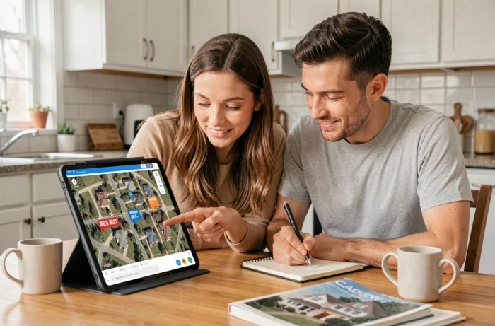
When the listing mentions a neighborhood or street without providing the full address, searching by GPS coordinates offers a shortcut. Some real estate portals display the approximate position of the property on an embedded map. A right-click on this point (on a computer) or a long press (on mobile) copies the coordinates, which can then be pasted into the Google Maps search bar.
Entering a partial address also works. Typing the street name and city positions the map in the right place, then navigation in satellite view allows for scanning the plots one by one.
- GPS coordinates copied from a real estate portal: direct paste into Google Maps for precise centering.
- Street name and postal code: quick positioning even without a number.
- Searching for a business mentioned in the listing (“pharmacy on X street”): indirect location of the property by proximity.
The accuracy of GPS on Google Maps reaches a few meters in dense urban areas. In rural areas, the discrepancy can be larger, which necessitates verification with the satellite view.
Each function of Google Maps provides a fragment of information. The satellite view delineates, Street View confirms, and the distance measurement quantifies. None are sufficient on their own, but their systematic cross-referencing transforms a vague listing into reliable spotting before the first visit.